The Wapiti plan area runs along the Wapiti River Valley south of the City of Grande Prairie and forms one of the jurisdictional boundaries between the County of Grande Prairie and the Municipal District of Greenview. It spans unique ecological areas and key biodiversity habitat along the Wapiti Dunes, wetlands and riparian areas. The area has been identified as a Provincial Environmental-Significant Area due to the ecosystem dunes, trumpeter swan nesting habitat and river valley landscape. The planning area also includes historic sites and world-class paleontological resources.
Background
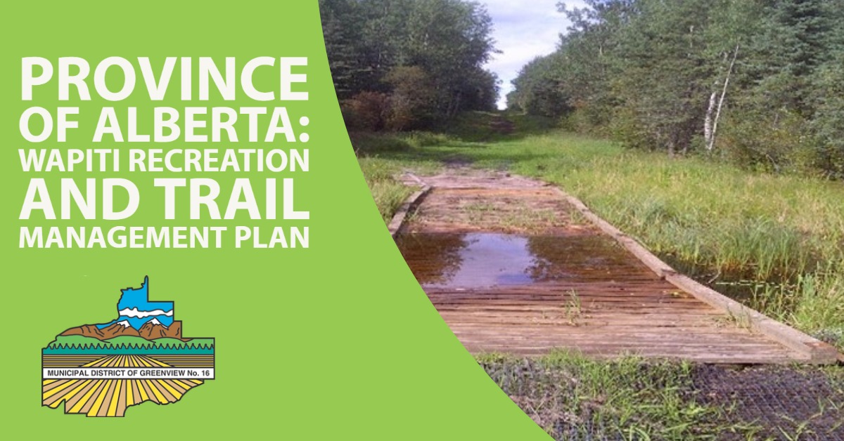
The Wapiti plan area has evolved into a major multi-use outdoor recreation and trail network for land and water-based activities. Several recreation facilities and trail networks have been in the area for years as well as a number of motorized associations. The types of recreational activities and user groups continue to expand and diversify as the population of the City of Grande Prairie and area continues to grow. The area is also an important economic source and contains areas of land used for lumber and pulp production, oil and gas, gravel extraction, grazing, and trapping. It is also a source of drinking water for regional communities and a cultural landscape and traditional use area for Indigenous peoples.
Growing recreational demand in the Wapiti Plan area has been a motivator for protecting the environmental integrity of the corridor while balancing social and economic interests. Since the 1970s, Alberta Environment and Parks has developed several Integrated Resource Plans (IRPs) and Regional Integrated Decisions (RIDs) to provide management direction and guidance for the area. In recent years, community-driven planning initiatives have been undertaken separately to protect the environmental integrity of the sand dunes, address land-use conflicts, and enhance recreational opportunities within. These planning initiatives were not led by the regulated decision-maker (i.e. AEP); and therefore, the plans were not implemented. The previous initiatives will inform this planning process.
Purpose of the Plan
The purpose of the Plan is to provide direction and guidance for the development of high quality recreation infrastructure and trail networks that are ecologically, socially, economically and operationally sustainable. The plan will provide strategic long-term direction for planning, management, operational, and capital decisions in the plan area.
Planning Process
Alberta Environment and Parks is committed to shared responsibility and working together to meet the interests and perspectives of local communities. The department will lead the planning process as a regulatory decision-maker and provide overall guidance and direction to the planning process. The plan will be developed through a collaborative process to ensure the interests and the perspectives of all stakeholders and Indigenous communities are reflected in plan development. An inclusive Advisory Committee, consisting of local municipalities, stakeholders, and Indigenous communities, will be established to provide advice, input, suggestions, and sector perspectives in plan development. The decision to approve the final plan will remain the responsibility of Alberta Environment and Parks. The department has a duty to consult with Indigenous Communities and the planning process will engage Indigenous communities early in the process.